
Map prints
All map prints
Browse archival maps and plans by collection.
50 maps
Browse by film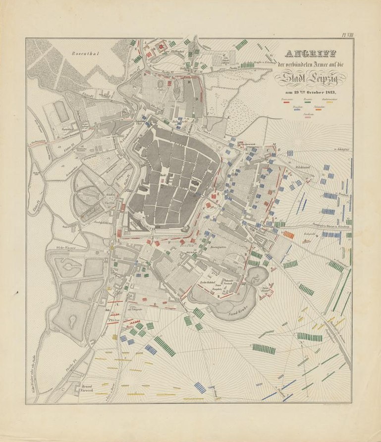 The Allies’ assault on Leipzig
1820–1850, as catalogued
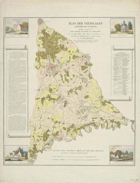 Waterloo and Quatre Bras
1815
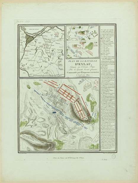 Battle of Eylau
after 1807
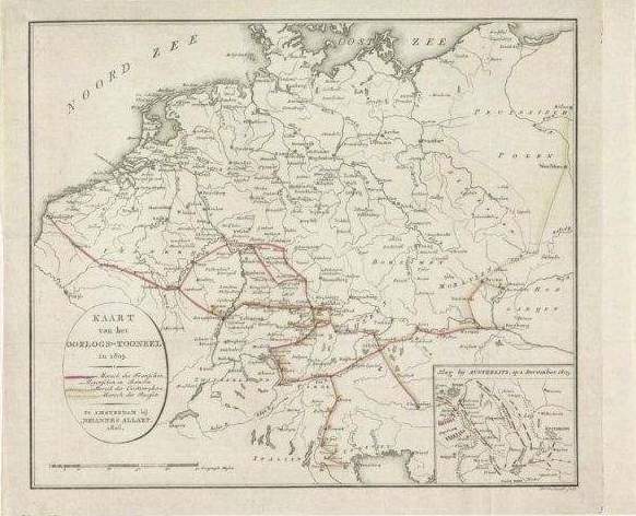 The 1805 campaign and Austerlitz
1806
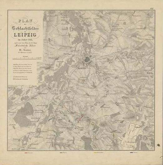 The battlefields of Leipzig
Heinrich Aster, 1852, plate II
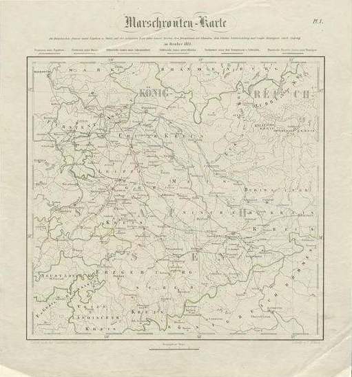 The roads to Leipzig
Heinrich Aster, 1852
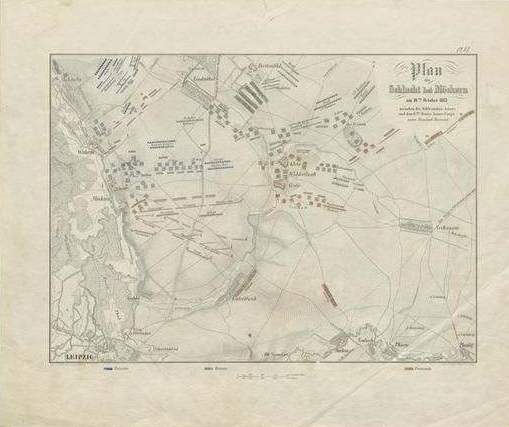 Battle of Möckern
Heinrich Aster, 1852
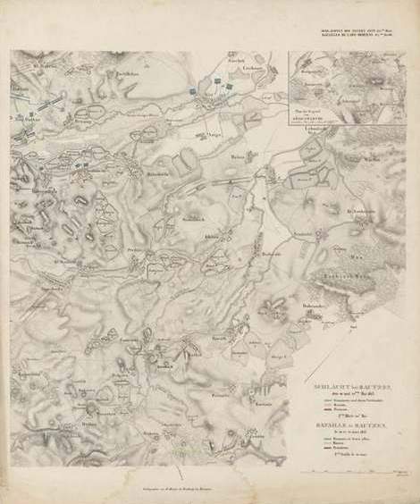 Battle of Bautzen
1830–1850?
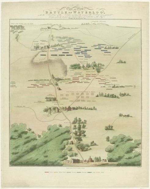 Waterloo battlefield and panorama
1815
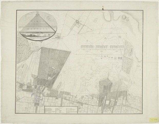 The French and Batavian camp at Zeist
1805
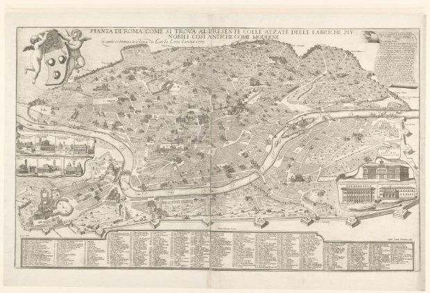 Testone’s plan of Rome
c. 1670; 1773 also catalogued
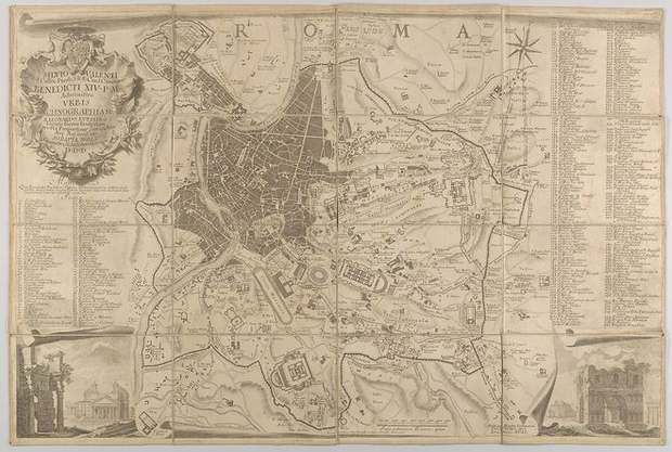 Nolli’s plan of ancient Rome
1748
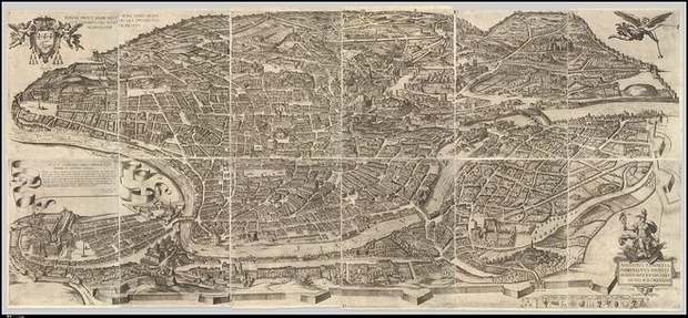 Tempesta’s Rome from above
1645 edition, first printed 1593
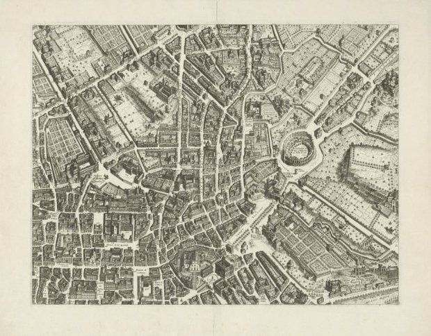 Falda’s Rome, sheet 5
1676
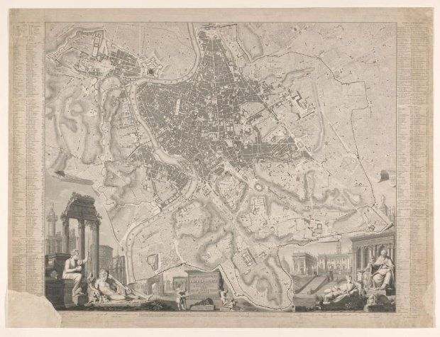 Huguenet’s topographical map of Rome
1841
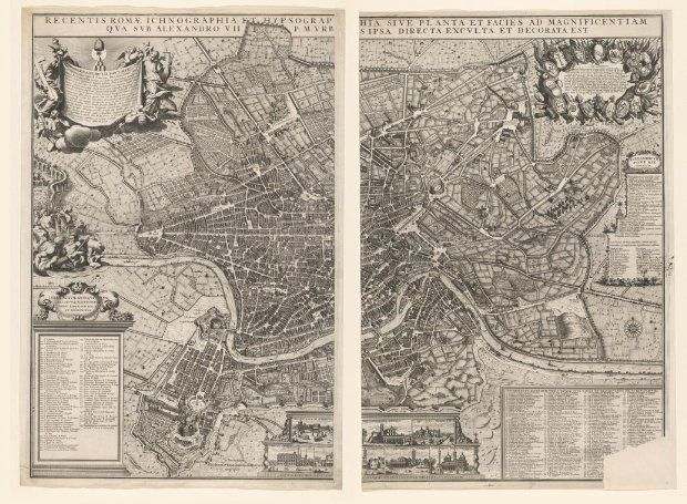 Rome and its seven churches
1721–1774
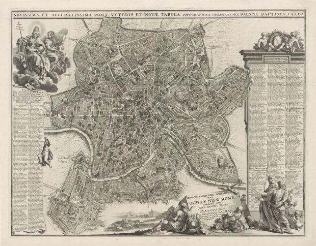 Ancient and modern Rome
1694–1699
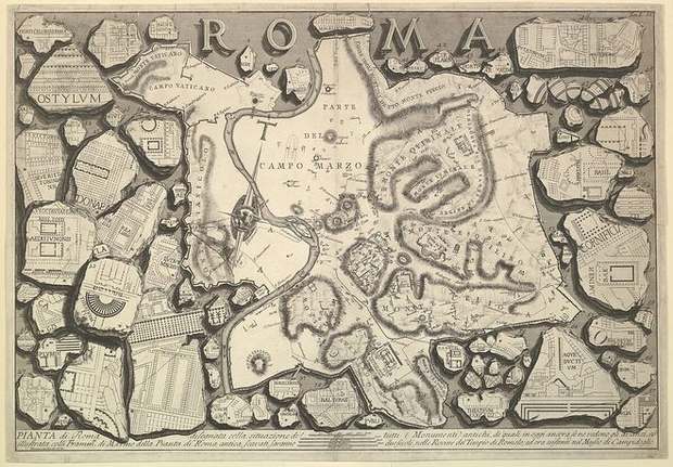 Piranesi’s plan of Rome
c. 1756
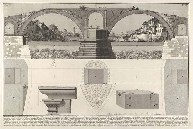 Piranesi’s plan of the Pons Fabricius
1756
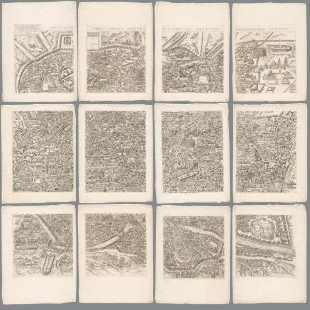 Ancient Rome in twelve sheets
1773
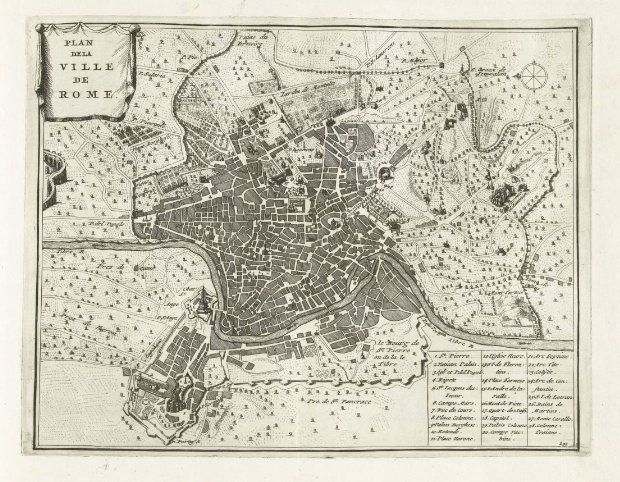 Rome at the turn of the eighteenth century
1702–1703
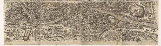 Rome under Augustus, lower sheet
1561 and 1602, as catalogued
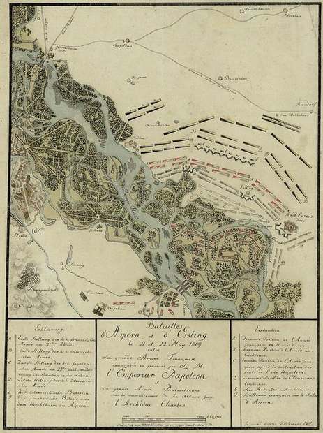 Aspern and Essling
Event · 1809
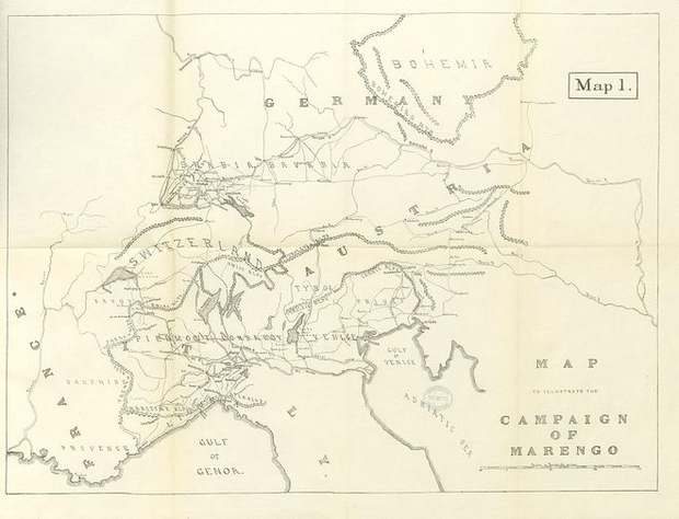 The campaign of Marengo
Event · 1800
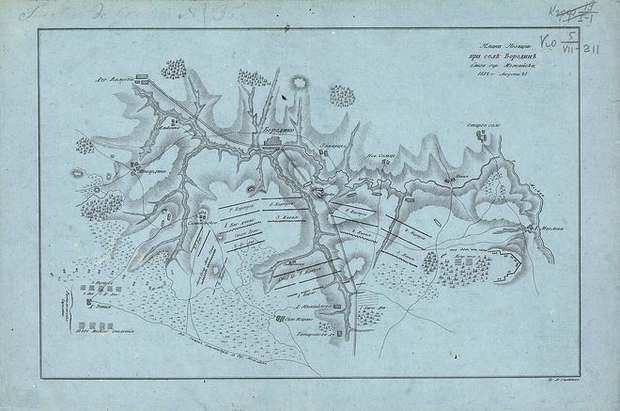 Savinkov’s plan of Borodino
1810s?
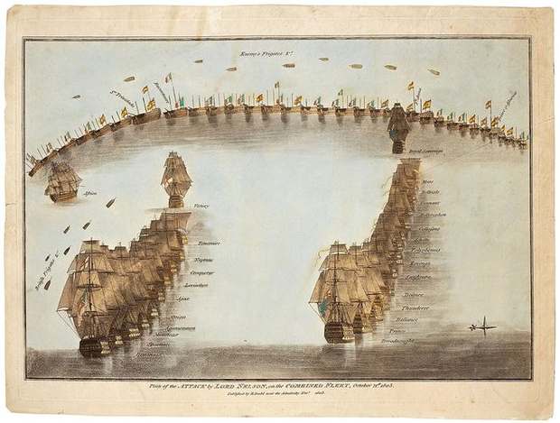 Nelson’s attack at Trafalgar
Event · 1805
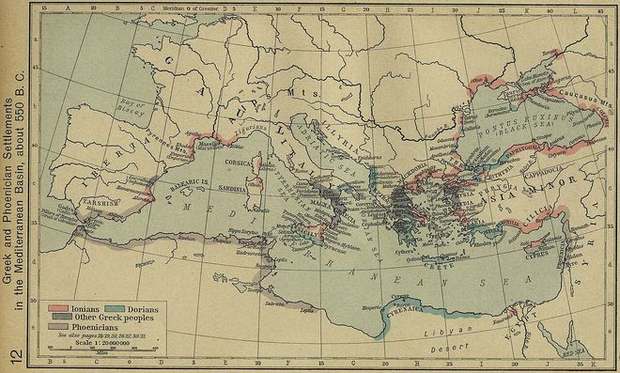 Greek and Phoenician settlements
1911
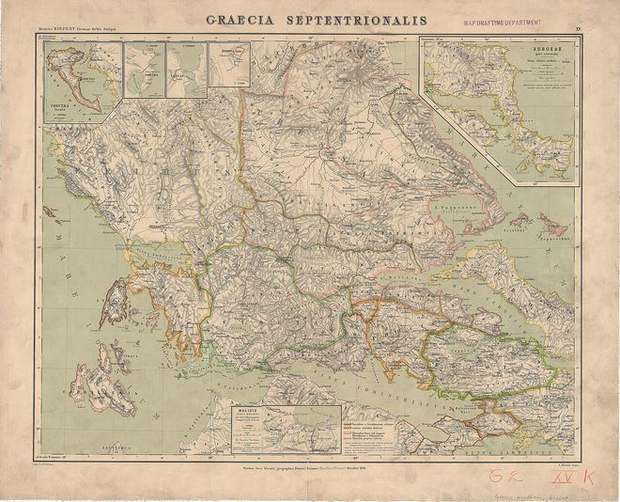 Kiepert’s map of northern Greece
1894
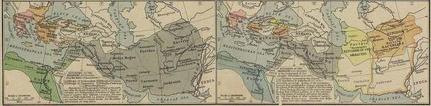 The kingdoms after Alexander
1923
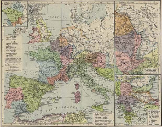 Roman Europe and Caesar’s Gaul
1911
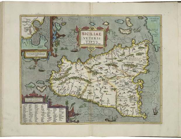 Ancient Sicily and Syracuse
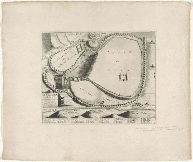 Luyken’s plan of Jerusalem
1704–1712
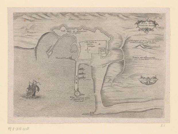 The fortified city of Rhodes
c. 1550–1600
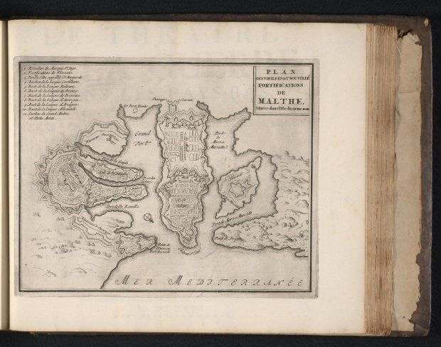 Valletta and its fortifications
1695–1697
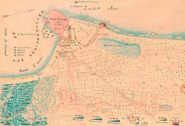 Acre and its fortifications in 1799
Event · 1799
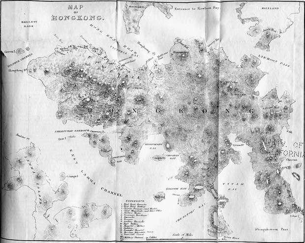 Hong Kong and Victoria Harbour
1845
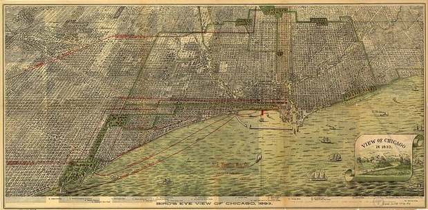 Chicago from above
1893
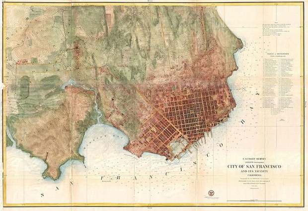 San Francisco and its waterfront
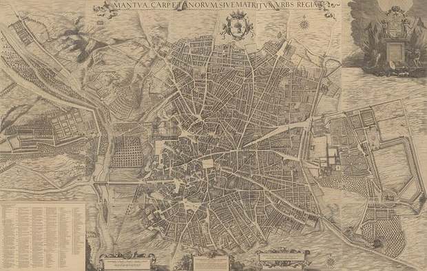 Teixeira’s Madrid
1656
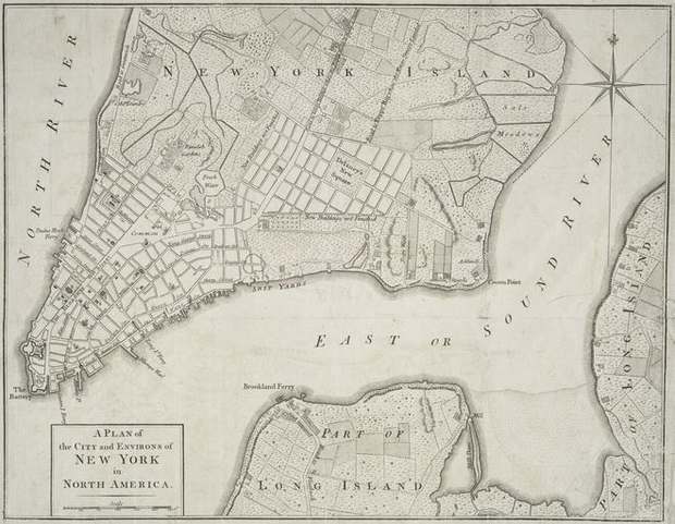 New York and its environs
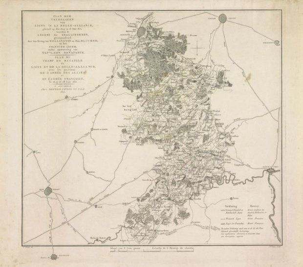 Ligny and Waterloo
1815
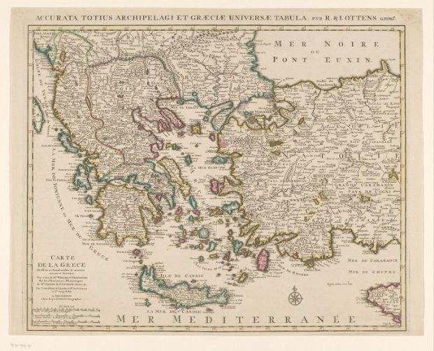 Greece and the Aegean
1726–1750
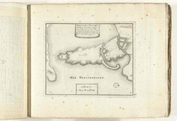 Fortified Syracuse
1702–1703
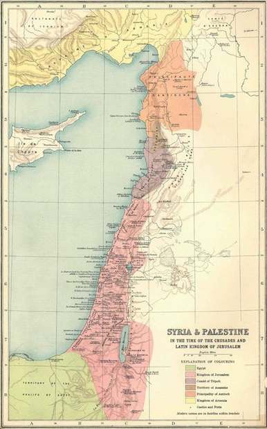 The Levant in the age of the Crusades
1915
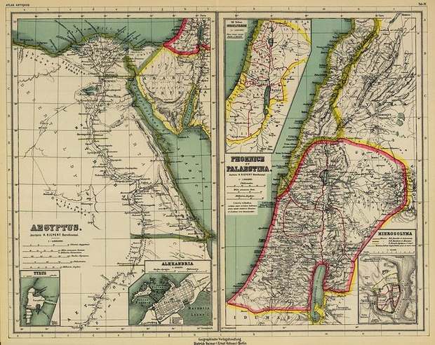 Egypt, Phoenicia and Palestine
19th century
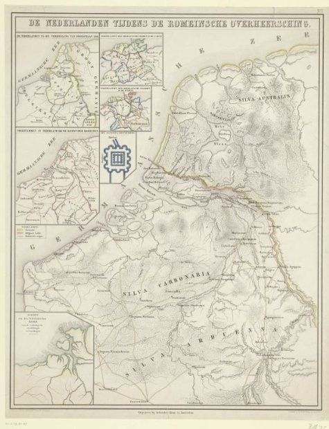 The Low Countries in Roman times
1855–1857
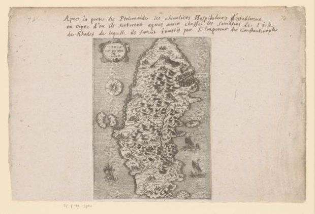 The island of Rhodes
c. 1570–1580
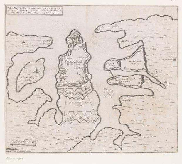 Malta’s fortified harbour
c. 1631–1657
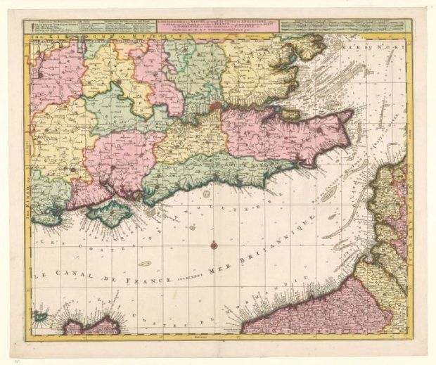 The English Channel and its coasts
1700–1750
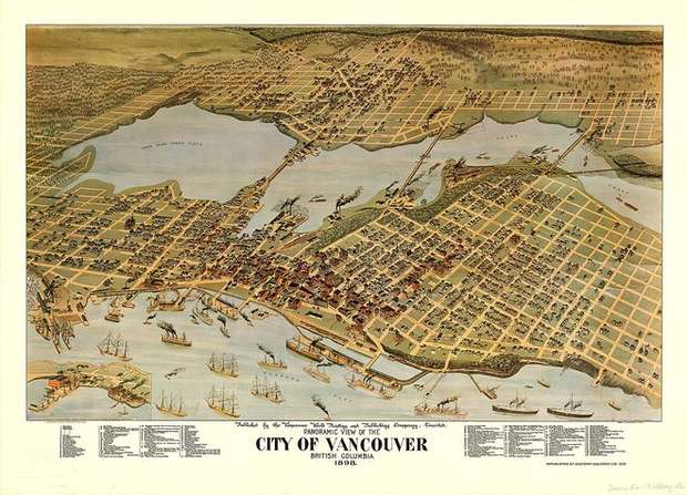 Vancouver from above
1898